
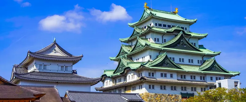
Nagoya→
Station: NagoyaNagoya, Nagoya Castle, Atsuta Jingu, Inuyama
High
31.4℃
Low
23.5℃
- Precip.
- 211.4mm
- Sunshine
- 166h
- Sunset
- 19:08
Highs around 31°C. The Kiso River cormorant fishing in Inuyama is a summer evening treat
July in Chubu & Hokuriku brings full summer as the rainy season ends. On average, the rainy season ends around July 19 in Tokai and Kanto-Koshin, and around July 23 in Hokuriku. Nagoya's high is 31.4°C and even nights only drop to 23.5°C, so the humid heat goes on day after day. To escape the heat, we recommend high-altitude areas like Hakuba, with highs around 27°C, or Kamikochi, reached by bus from Matsumoto. Summer in the mountains begins, with Kurobe Dam's sightseeing water discharge and the alpine flowers of Kamikochi and Tateyama.
Temperature, precipitation, snow and sunshine are climate normals (1991-2020). Sunset is for July 15.
Nagoya, Nagoya Castle, Atsuta Jingu, Inuyama
Highs around 31°C. The Kiso River cormorant fishing in Inuyama is a summer evening treat
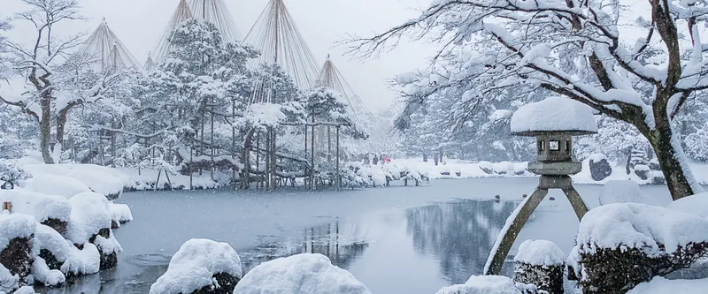
Kanazawa, Kenrokuen, Higashi Chaya District, 21st Century Museum
Mornings around 23°C. The Higashi Chaya District is most pleasant to stroll in the morning or evening
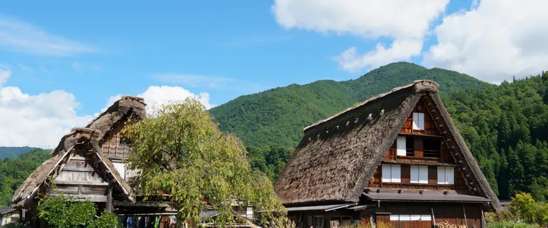
Shirakawa-go, Gassho-zukuri Farmhouses, Ogimachi Observatory, Gokayama
Highs around 28°C, mornings around 19°C. Summer scenery of green rice paddies and gassho-zukuri houses
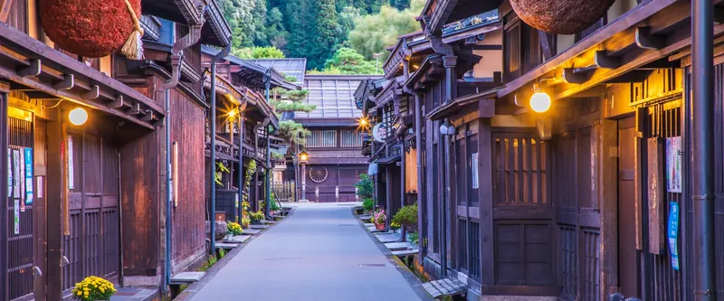
Takayama, Sanmachi, Miyagawa Morning Market, Okuhida Onsen
Mornings around 19°C. Head out to Okuhida Onsen for views of the Northern Alps
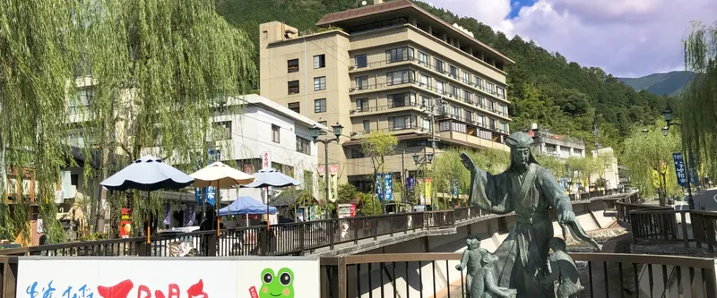
Gero Onsen, Hida River, Gassho Village
The rainiest month of the year, with 445.6 mm of rain. Watch for heavy rain alerts
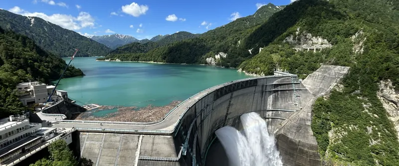
Toyama, Tateyama Kurobe Alpine Route, Kurobe Dam, Unazuki Onsen
Highs around 30°C in Toyama City. Kurobe Dam's sightseeing water discharge can be seen
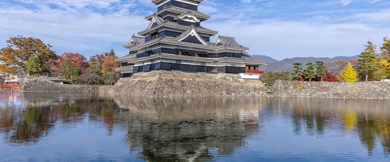
Matsumoto, Matsumoto Castle, Kamikochi, Norikura Highlands
Highs around 30°C in Matsumoto. Flower season in Kamikochi, which is cooler than the city
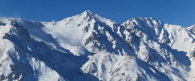
Hakuba, Happo-one, Tsugaike Kogen, Hakuba Goryu
Highs around 27°C, mornings around 18°C. Time for a trek to Happo Pond
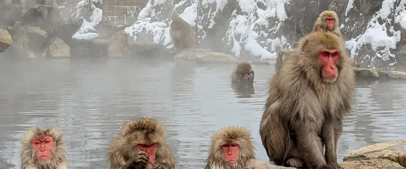
Nagano, Zenkoji, Jigokudani Monkey Park, Shibu Onsen, Shiga Kogen
Highs around 30°C. Shiga Kogen is cooler than the city — great for highland walks
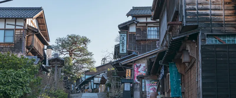
Tsumago-juku, Magome-juku, Narai-juku
A wet month, with 365.8 mm of rain. Check the forecast before walking the Nakasendo
Murodo on Tateyama and Kamikochi are much cooler than the cities, and when the weather turns it can feel chilly even in summer. Bring a long-sleeved jacket and a set of rainwear.
Nagoya's high is 31.4°C and even nights only drop to 23.5°C, making for many sticky, sleepless nights. Drink water frequently and take breaks during the day.
Inland highland areas like Hakuba, Matsumoto and Takayama have the appeal of cooler, more comfortable mornings and evenings than Nagoya. Kamikochi and Murodo on Tateyama are cooler still.
Heavy rain can occur around the end of the rainy season, and in summer, afternoon showers and thunderstorms are common in the mountains. The rule for mountain walks is to be active in the morning.
Kamikochi gets crowded on summer weekends and public holidays. The Alpine Route and Kurobe Dam are also popular during the summer holidays, so setting off early makes for a more comfortable trip.
More than 10 tons of water per second are released from Kurobe Dam as a fine mist. If you're lucky, a beautiful rainbow forms over the discharge.
The time of year when the most flowers bloom in Kamikochi. The walking trails are mostly boardwalks and gravel paths, so wear comfortable shoes.
You can ride the gondola and lifts up to high ground. A popular trek leads to Happo Pond, which reflects the Northern Alps.
Dates change every year. Please check the official websites before you go.
On average, the high is 31.4°C and the low is 23.5°C. It's humid, so you need to watch out for heatstroke.
Based on Japan Meteorological Agency averages, around July 19 in Tokai and Kanto-Koshin (Nagano Prefecture), and around July 23 in Hokuriku.
Hakuba has a high of 27.0°C and a low of 17.7°C, more comfortable than Nagoya. There are no observation stations there, but Kamikochi and Murodo on Tateyama are cooler still.
Back to the Chubu & Hokuriku Weather Guide (all months & areas) →
Source: Japan Meteorological Agency (climate normals 1991-2020). Compiled by tripuuu.log. Temperatures are from a representative station in each area; actual weather varies from year to year.